Baldwin County Trails
Here are just a few popular paths to visit in Baldwin County:
Historic Blakeley State Park
Blakeley State Park is home to more than 20 miles of hiking, biking and horseback trails, both paved and unpaved, in Spanish Fort. It has a designated bike trail that loops 10 miles and traverses a large area of the park. Trail map
Weeks Bay Reserve Trail
Dirt paths and boardwalks guide hikers across marshes and through woods of magnolias and cypress. Although much of the trail is shaded, the 1.3-mile trail is best hiked in cooler months and on mornings and evenings in summer. Trail map.
The Bon Secour National Wildlife Center Refuge Trails
Hikers can head through wetlands, maritime forests, scrub habitats, swales, and dunes, and see a range of animals along the way, including loggerhead sea turtles and alligators. The Jeff Friend Trail is the shortest, at 1 mile long, and is wheelchair accessible. The longest trek, at 5.1 miles, is the Pine Beach Trail. This trail includes a rewarding beach walk at the end. Trail map.
The Fort Morgan Road Trail
From the shopping center at Alabama Highway 59 and Highway 180, this multi-use paved path parallels Fort Morgan Road (Highway 180), but most of the trail is tucked off road. This trail is approximately 11 miles round-trip or 5.6 miles from the Peninsula Boulevard to Peninsula Golf and Racket Club. Trail map.
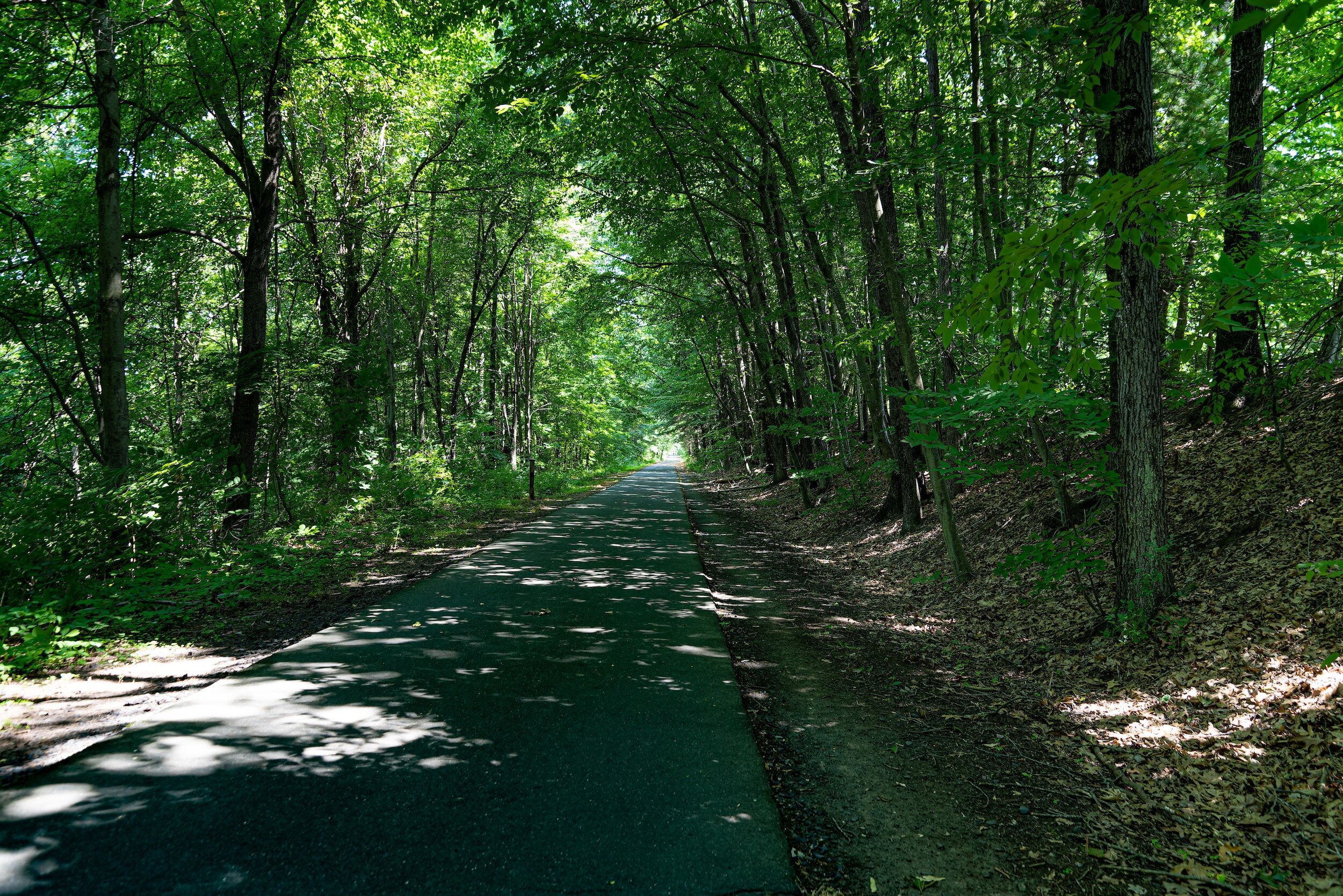
Hugh S. Branyon Backcountry Trail – Voted Best Recreational Trail in the U.S. in 2023
Seven trails weave among six distinct ecosystems that make up more than 15 miles of the Hugh S. Branyon Backcountry Trail complex through Orange Beach, Gulf Shores, and Gulf State Park. Voted “Best Recreational Trail” in USA Today’s 2023 Readers’ Choice awards, the trail is named for longtime Gulf State Park Superintendent Hugh Branyon, who managed the park from 1970 until retirement in 2009. The trail was designated a National Recreation Trail in 2010 and is part of the Alabama Coastal Birding Trail and the Coastal Connection National Scenic Byway. Est. 2003 - Hugh S. Branyon Backcountry Trail. Trail map.
Wade Ward Nature Park
An elevated boardwalk offers views of wildlife in the wetlands that connect Little Lagoon and Lake Shelby at this Alabama Coastal Birding Trail site. Free parking nearby. 500 Gulf Shores Pkwy. Trail map.
Perdido River Hiking Trail
The Perdido River Hiking Trail extends 17.9 miles and follows closely with the nearby canoe trail. It starts at Blue Lake Landing on the southern end of the Perdido WMA and ends at Gravel Landing on the northern end of the canoe trail. Trail map.
Robertsdale Bike & Walking Trail
In Roberstdale, a 1.7-mile lighted off-road walking and bike path runs north and south on the east side of State Highway 59 from County Road 54 to East Silverhill Avenue, traveling through Honey Bee Park. Trail map.
Pioneer Park Trail
This walking trail in Summerdale starts at Pioneer Park and winds past the town clock and old tobacco warehouse. Trail map.
Loxley Municipal Park
Paved walking and riding path in Loxley off Municipal Park Drive. Trail map.
Graham Creek Nature Preserve
This 500-acre habitat preserve in Foley is open from dawn to dusk and has a mix of marked and unmarked trails with hiking and biking opportunities. Trails are as short as .1 mile and as long as 4.3 miles. (23030 Wolf Bay Drive) Trail map.
Baldwin County Bicentennial Park
This walking and biking loop in a 367-acre park in Stockton, North Baldwin County, passes small historic buildings that were moved to the site. Be sure to visit the Davida Hastie Nature Trail. Trail map.